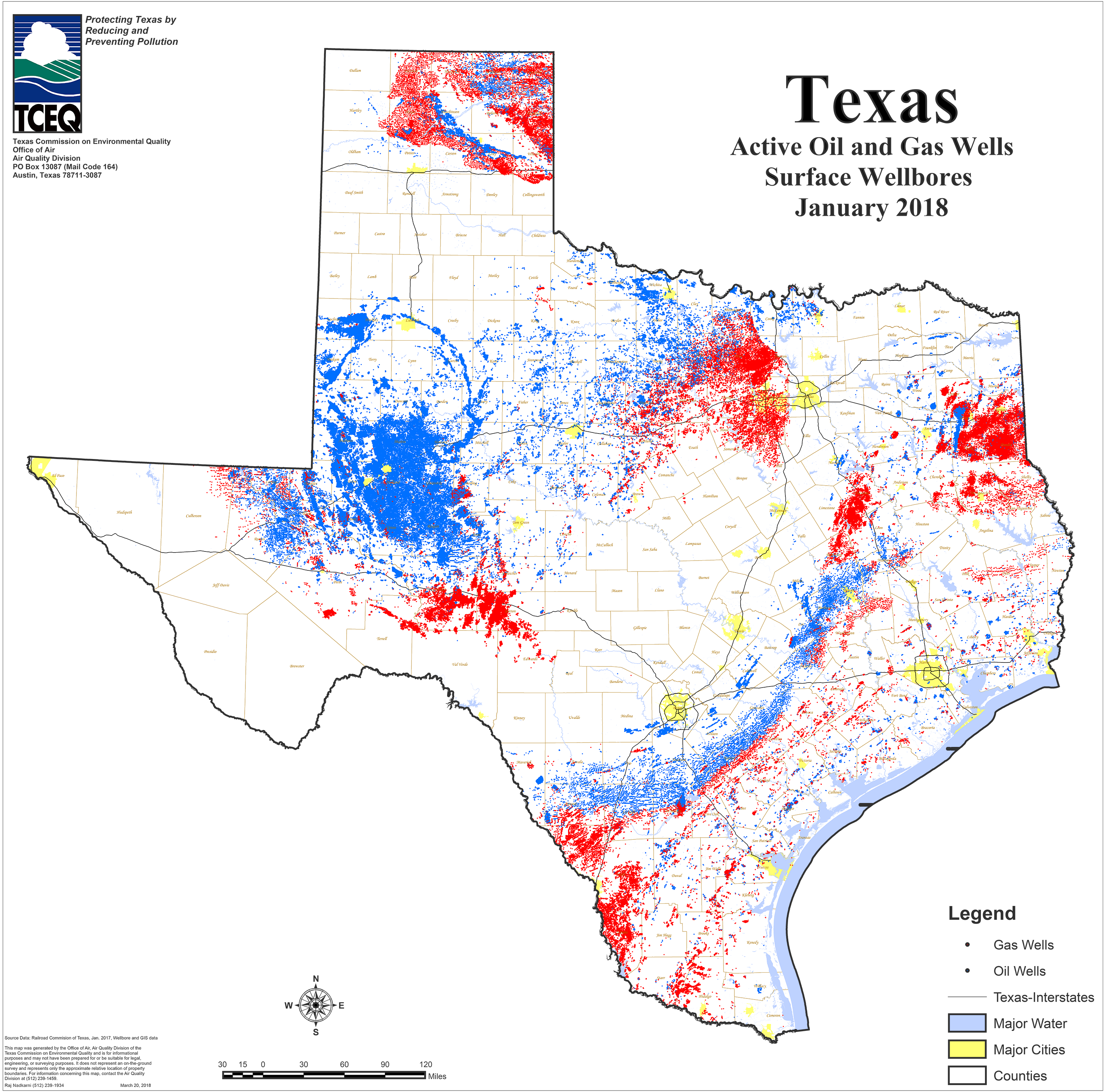
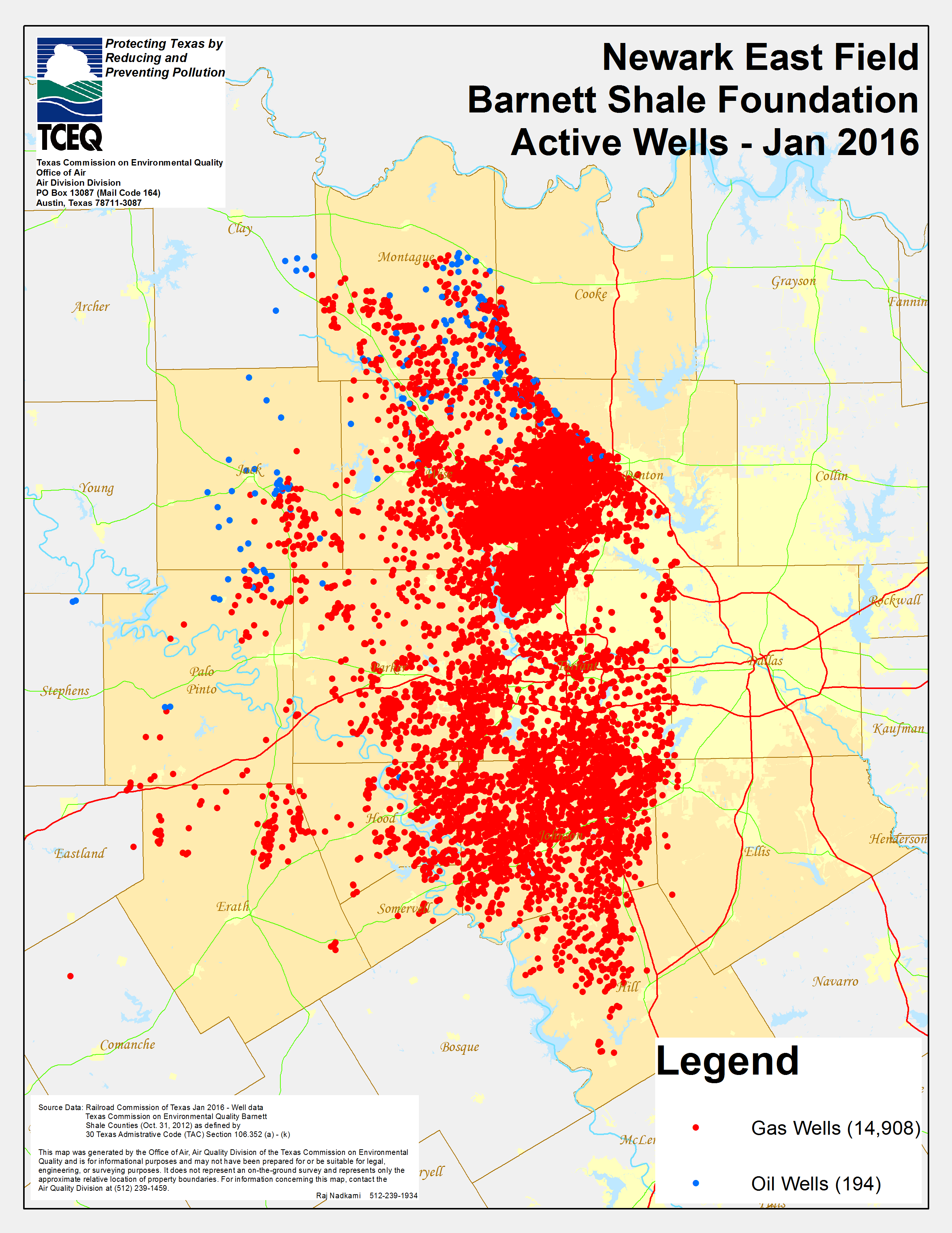
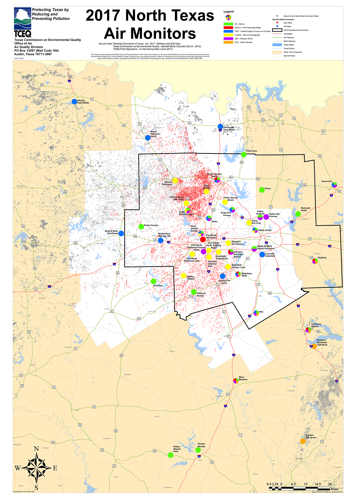
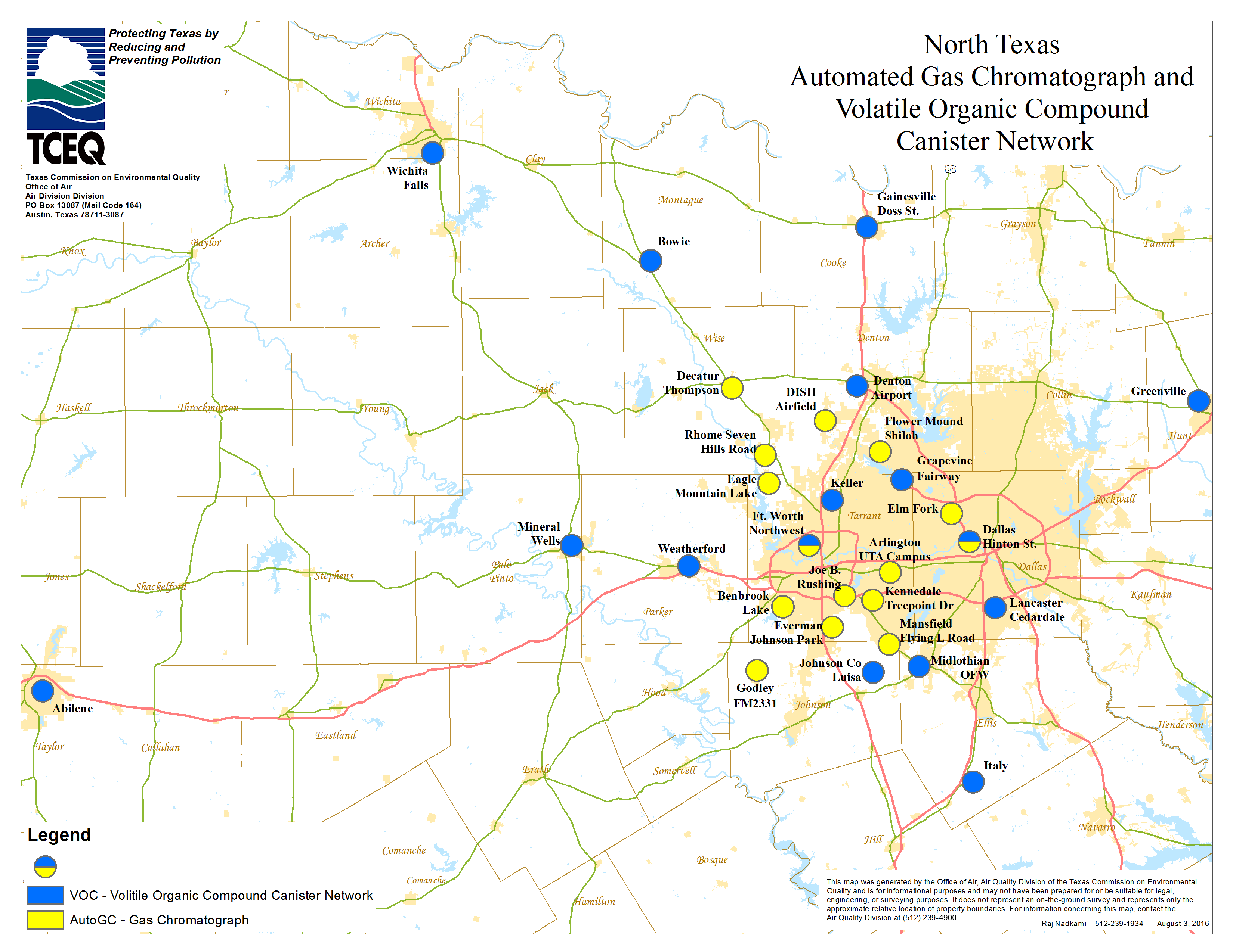
Barnett Shale Maps and Charts
Maps and charts of oil and gas wells, monitor locations, and air quality information.
Barnett Shale Air Sampling Map Viewer
- User Guide
- For more details about this data and the map viewer, please visit the Barnett Shale Viewer Description page in ArcGIS Online.

Barnett Shale Counties
- Cooke
- Dallas
- Denton
- Ellis
- Erath
- Hill
- Hood
- Jack
- Johnson
- Montague
- Palo Pinto
- Parker
- Somervell
- Tarrant
- Wise
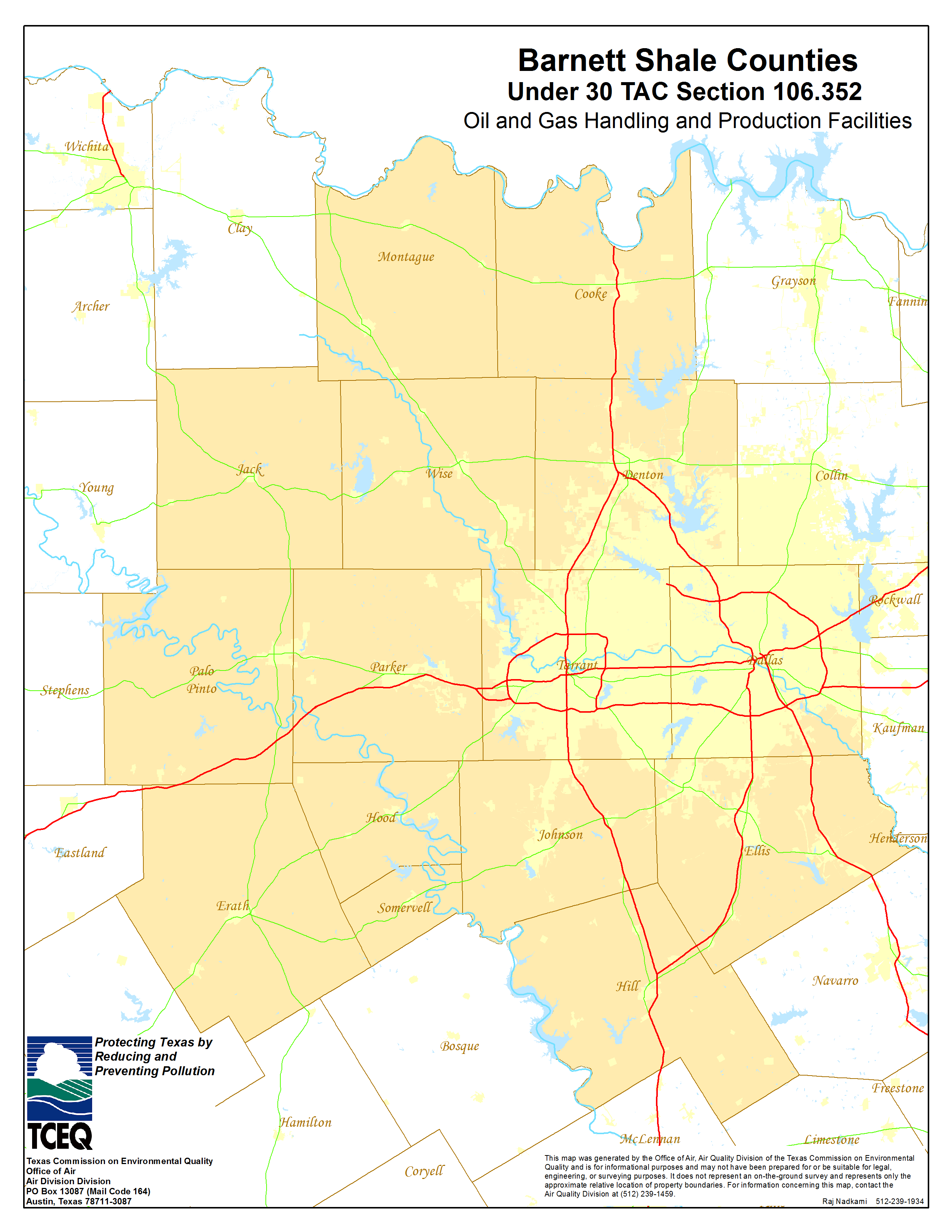
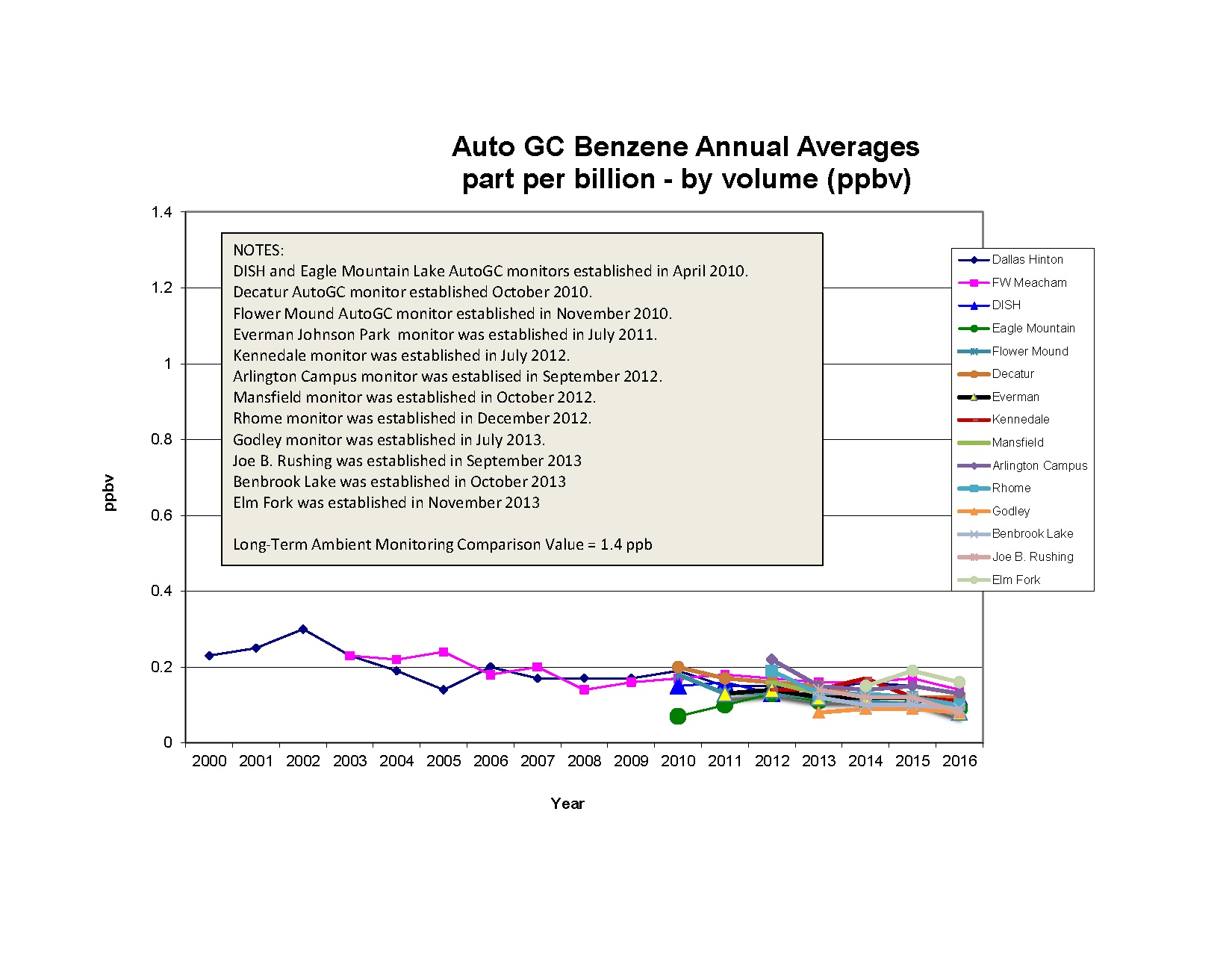
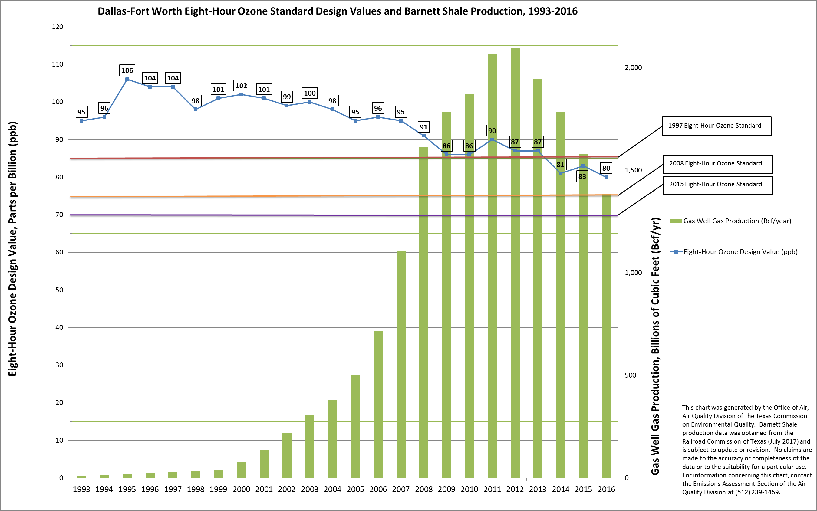
Miscellaneous Barnett Shale Maps and Charts