Air Monitoring
Featuring the latest information regarding the Texas air monitoring network, monitoring data, and air quality forecast conditions for Texas' metropolitan areas.
Ambient Air Monitoring
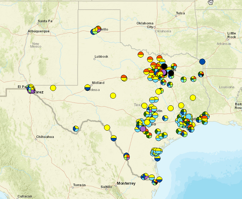
Texas has one of the most robust air monitoring networks in the country consisting of over 200 monitoring stations serving over 25 million Texans statewide in areas where the presence of industry intersects with large segments of the state’s population. This network assists TCEQ in monitoring compliance with federal air quality standards, providing information in response to localized air quality concerns, evaluating air pollution trends, and studying air pollution formation and behavior. TCEQ monitoring network includes more than double the number of monitors required by federal rule, in addition to numerous state-initiative monitors.
The Clean Air Act provides for establishing national ambient air quality standards (NAAQS) for six commonly occurring air pollutants, or “criteria pollutants”, that can be harmful to public health and the environment.
TCEQ monitors ambient air concentrations of these and other pollutants at stationary monitoring sites across the state. Near real-time monitoring data can be found using the links in the right and left menus.
TCEQ also maintains the Texas Air Monitoring Information System (TAMIS) that allows users to generate and download ambient air quality data collected at these monitoring stations.
- Today's Texas Air Quality Forecast
- Air Quality Index: Table of Today's Pollution Levels in Texas' Metro Areas
- Latest Texas Ozone Levels
- Latest Texas PM2.5 Levels: Soot, Dust, and Smoke in Your Metro Area
- Latest Volatile Organic Compound (VOC) monitoring stations, data, locations, and photos of monitoring sites.
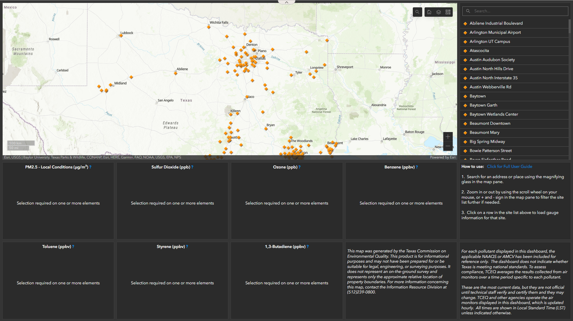
The GeoTAM Dashboard presents users a geospatial way to view the current live ambient air values. These measurements are collected at ambient air monitoring sites owned by the Texas Commission on Environmental Quality (TCEQ) and hosted monitoring partners. The pollutants displayed include ozone (O3), sulfur dioxide (SO2), particulate matter of 2.5 micrometers or less in diameter (PM2.5), benzene, toluene, styrene, and 1,3-butadiene, if the pollutant is measured at the air monitoring site. Individual air monitoring sites may also collect several other pollutants.
In addition to the six criteria pollutants, TCEQ’s monitoring network also measures a variety of air toxics that include hydrogen sulfide, volatile organic compounds, metals, and carbonyls. The specific pollutants measured at each monitoring station can be identified using the GeoTAM viewer.
Placement of air monitors is determined consistent with federal air monitoring rules using population trends, reported emissions inventory data, local meteorological data, and, if available, existing air monitoring data for a given area. In addition, TCEQ may prioritize monitor placement in areas with potential air quality issues, or to address local air quality concerns. TCEQ strives to strategically balance meeting federal monitoring requirements and state and local needs with available funding and staffing resources.
Each specific monitor location must meet strict siting criteria that include minimum spacing from trees or other obstructions, free of influences from specific sources, and logistical considerations, such as available space, power, and level terrain. Final site selection is contingent on TCEQ receiving proper access authorization from property owners for properties that meet these siting criteria.
TCEQ uses a variety of measures to ensure its air monitoring data is of the utmost quality. Air monitors are assessed daily to verify their operations remain within proper specifications. TCEQ personnel physically visit each monitoring station on a weekly basis to conduct various quality control checks and preventive maintenance activities. The monitoring instruments themselves must meet rigorous sampling and analytical requirements prescribed by federal air monitoring rules and undergo daily, weekly, and quarterly quality control checks to verify the instrument’s calibration, accuracy, and precision. In addition, independently calibrated instruments are used to perform quarterly and annual audits of the air monitors and their operation.
Finally, a validation assessment is performed on all data to verify TCEQ’s data quality objectives are met. The data are reviewed for outliers, regional comparability, quality assurance/quality control requirements, and other data quality assessment indicators. Data that do not meet these objectives completely are invalidated or denoted accordingly.
TCEQ air monitoring network is designed to measure pollutant concentrations for assessing regional air quality representative of areas frequented by the public. Monitors can measure the impact on air quality from industrial sources present in an area, but do not measure the emissions from individual sources or determine a source’s compliance with permitted emission limits. Data from the ambient air monitoring network is used to determine compliance with the national ambient air quality standards (NAAQS), evaluate pollutant trends, forecast daily air quality conditions, perform air quality and human health impact studies, and inform regulatory decisions. Finally, while stationary air monitors may provide useful data during disasters or emergency events, they are not specifically intended for those purposes.
Tighter air pollution restrictions put Travis County at risk of nonattainment - by
Chikage Windler CBS Austin

TCEQ monitors air pollution levels across the state - by Chikage
Windler CBS Austin

TCEQ Air Quality Forecasting
TCEQ Ozone Action Day Forecasting
TCEQ Stationary Air Quality Monitoring
Take This Job: Testing the Air Quality in Austin | KVUE
KXAN Meteorologist Kristen Currie Interviews Cory Chism on Air
Monitoring in Texas
Kristen Currie Interviews Neal Penney on Particulate Matter
Kristen Currie Interviews Neal Penney on Air Monitoring
Instruments
Saharan Dust Q&A with TCEQ Meteorologist Weslee
Copeland
Important:
Timeline
for Near Real-time Ambient Air Quality Data: The time it takes for near real-time monitoring
data to reach our webpages. TCEQ strives to bring you the latest monitoring information data as quickly
as possible, The data that we collect is displayed in local standard time (LST) as per EPA standards.
![]() Air Quality Forecast and Ozone Action Day Alerts (sign up to
receive email or text alerts for several metropolitan areas throughout Texas)
Air Quality Forecast and Ozone Action Day Alerts (sign up to
receive email or text alerts for several metropolitan areas throughout Texas)
Related Content
Modeling and Studies
For questions about the following studies, please contact the Air Quality Division.
- Air Quality Modeling: An introduction to air quality modeling, with links to data files and related research.
- Air Quality Research: Links to projects and programs designed to improve the state of air quality science and policy.
Air Pollutant Watch List and Toxicology
The APWL includes cities or counties that have elevated concentrations of air pollutants. TCEQ’s Toxicology program oversees the APWL.


