Mobile Air Monitoring
TCEQ’s mobile monitoring consists of dedicated vehicles and instruments that conduct short-term outdoor air monitoring projects.

CBS NEWS Report and Video: What TCEQ Monitors across the State .
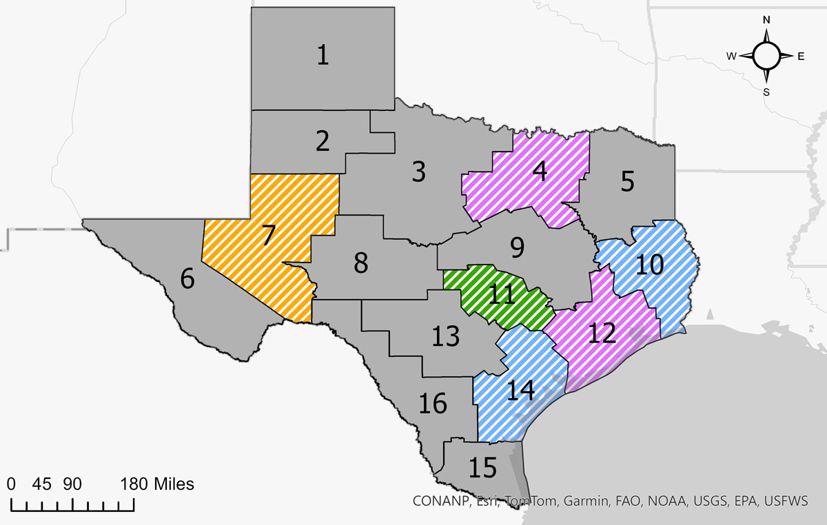
TCEQ has three mobile monitoring vans centrally located in Austin: two Strategic Mobile Air Reconnaissance Technology (SMART) vans and one SMART-Rapid Assessment (RA) van. TCEQ also has five regional survey vehicles located in Dallas/Fort Worth, Beaumont, Houston, Corpus Christi, and Midland. All mobile monitoring vehicles are deployable to any region of the state.
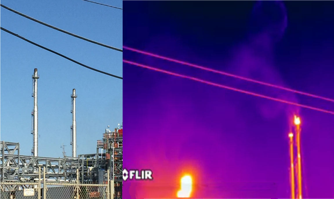
Vehicles contain state-of-the-art instrumentation to monitor low concentrations of target compounds in ambient air while in transit. Mobile monitoring may be conducted near facilities of interest to assess potential sources or in communities to assess local air quality. Functions of mobile monitoring include but are not limited to:
- Using advanced equipment to measure chemical concentrations in air
- Characterizing air quality in support of siting future stationary monitors
- Responding to emergency events and natural disasters for air monitoring needs
- Assisting with air investigations and special projects
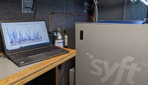
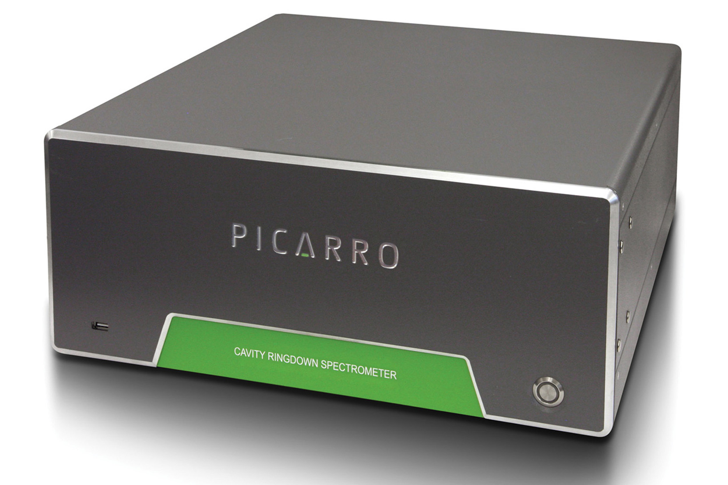
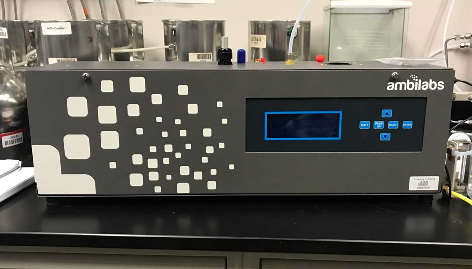
Mobile monitoring data can be collected “in-transit” by driving vehicles at low to moderate speeds or by parking the vehicles to conduct stationary monitoring. The vehicles contain instruments suitable for either mode of monitoring and include selected ion flow tube mass spectrometers, ultraviolet spectrometers, nephelometers, and cavity ring-down spectrometers. Instruments also collect meteorological data allowing the team to integrate pollutant data, wind speed, and direction with sampling locations.
Instruments used for Mobile Monitoring
Ultraviolet (UV) Spectrometer
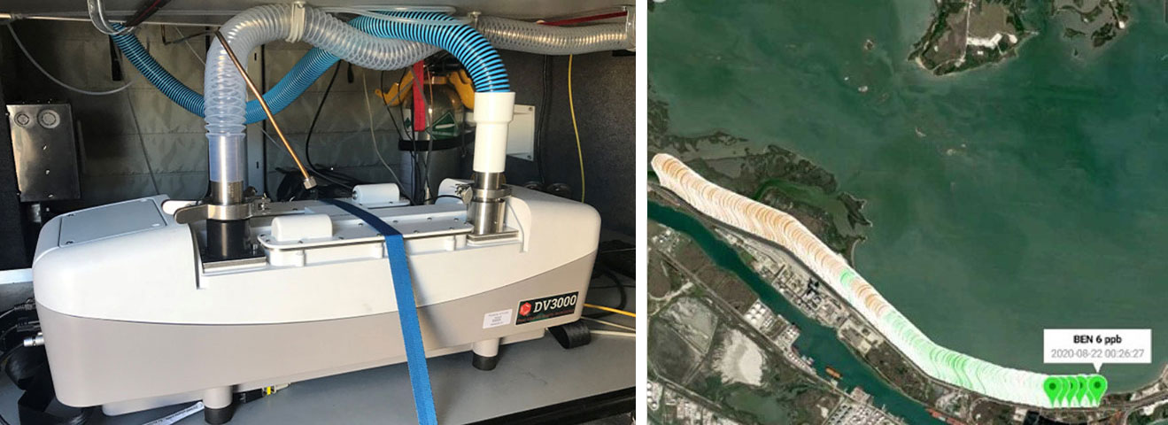
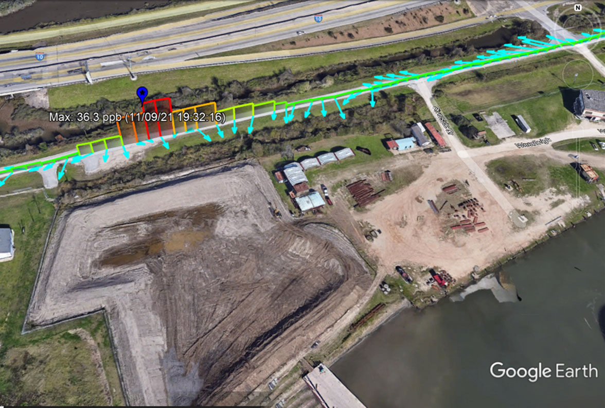
- Generates real-time maps of compound concentrations
- Semi-quantitatively identifies potential emission sources of benzene, toluene, 1,3-butadiene, styrene, and sulfur dioxide at ppb levels
- Can qualitatively measure nine other compounds
- Generates real-time maps on a dedicated tablet that displays compound concentrations and Global Positioning System (GPS) coordinates
Multi-Parameter Weather Sensor
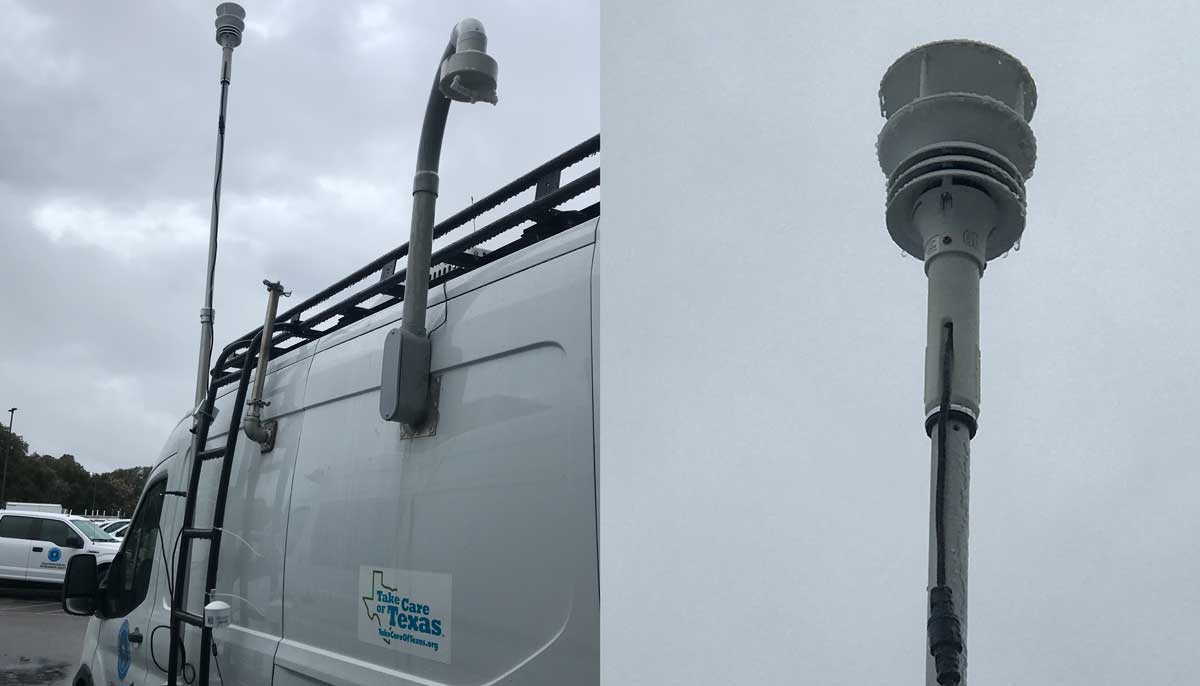
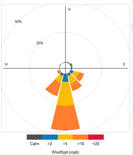
- Ultrasonic wind sensor measures precise wind speed and direction.
- Electronic compass and built-in GPS provide location information and true wind measurements while moving.
- Collects weather data parameters simultaneously with pollutant data to evaluate pollution plume movement and assist in mapping pollutant concentrations
- ammonia
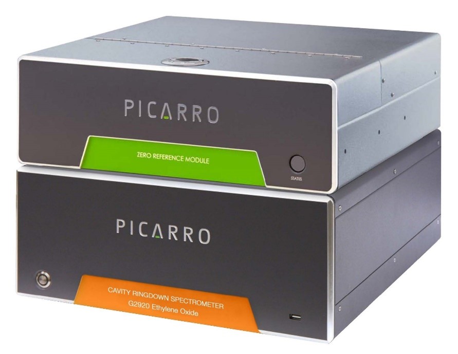
- ethylene oxide
- hydrogen sulfide
- nitrogen dioxide
- particulate matter, when appropriate in emergency response situations where PM-related air quality impacts may be expected
- sulfur dioxide
- volatile organic compounds such as benzene, 1,3-butadiene, and styrene
UV Spectrometer
 Beaumont, Region 10
  Corpus Christi, Region 14
UV Spectrometer & H2S Cavity Ring-Down Spectrometer
 Midland, Region 7
UV Spectrometer & Nephelometer
 Dallas/Fort Worth, Region 4
 Houston, Region 12
SIFT-MS, UV Spectrometer, Nephelometer, H2S Cavity Ring-Down Spectrometer, EtO Cavity Ring-Down Spectrometer with Zero Reference Module
 Austin, Region 11
- How long it takes to deploy
- Available resources
- Whether the instruments can measure the compounds of interest
- Specific details surrounding the incident including the duration of the event and local weather conditions

