Status Map of High Resolution Land Use / Land Cover AreasA .gif file that is a status map of high resolution Land Use / Land Cover Areas.https://www.tceq.texas.gov/downloads/gis/metadata/images/lulcstat.gif/viewhttps://www.tceq.texas.gov/downloads/gis/metadata/images/lulcstat.gif/@@images/image-1200-afe866e5ac253bd2b94a4ba45a3a1247.png?v=image
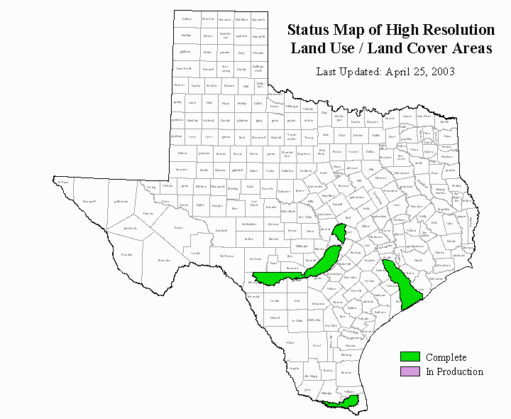
Status Map of High Resolution Land Use / Land Cover Areas
A .gif file that is a status map of high resolution Land Use / Land Cover Areas.
