Houston Ship Channel and Galveston Bay Dioxin Project Map 26
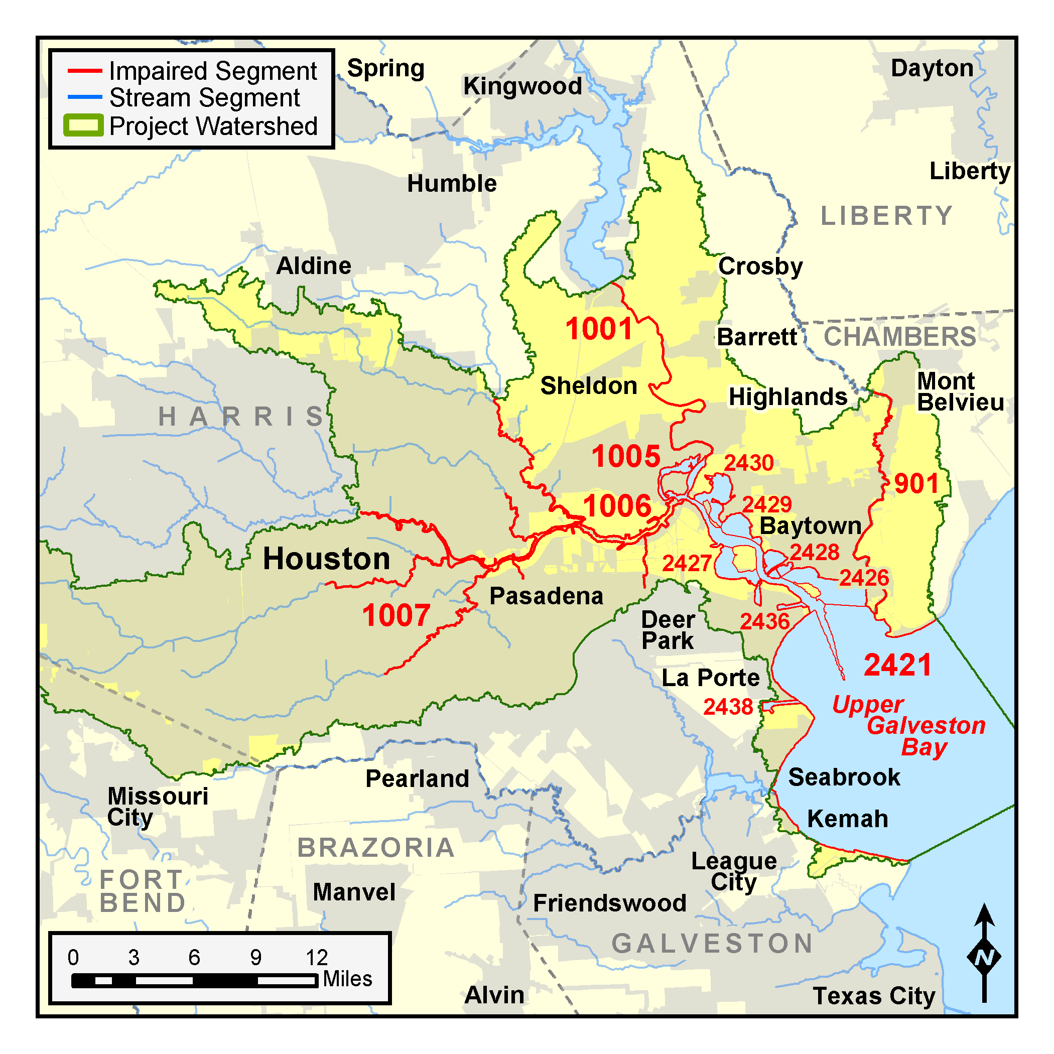
Map showing the segments in the TMDL Program's assessment of dioxin in the Houston Ship Channel and Galveston Bay.
Search tceq.texas.gov
Map showing the segments in the TMDL Program's assessment of dioxin in the Houston Ship Channel and Galveston Bay.
