Lavaca River Watershed Protection Plan Implementation
Texas Water Resources Institute supported implementation measures for the Lavaca River Watershed Protection Plan including outreach, education, and water quality monitoring.

On this page:
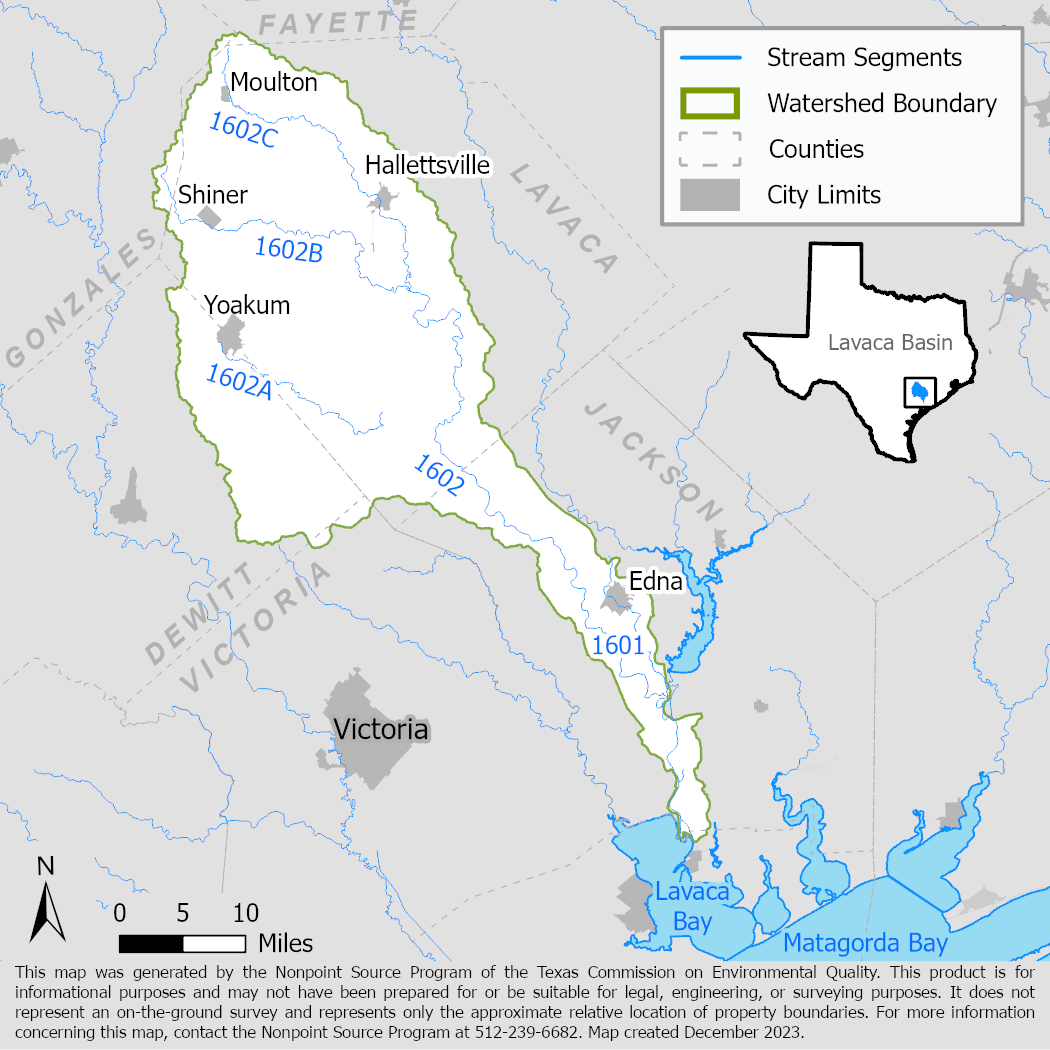
Project Area
River Basin: Lavaca
Water Body: Lavaca River (1601, 1602)
Location: Lavaca, Jackson, Gonzales, Fayette, and Victoria counties
Background
The Lavaca River above tidal (Segment 1602) has not met state water quality standards for primary contact recreation use due to high bacteria concentrations since 2008. Other segments of the watershed have also not met state standards for either aquatic life use due to low levels of dissolved oxygen or primary contact recreation use due to high bacteria concentrations and have concerns for excess nutrients. In 2018, the Texas Water Resources Institute (TWRI) and stakeholders developed the Lavaca River Watershed Protection Plan to address water quality issues in the watershed. They also developed a Total Maximum Daily Load (TMDL), and a TMDL Implementation Plan (I-Plan). TWRI implemented management measures outlined in the watershed protection plan.
Project Description
September 2018 - August 2022
TWRI coordinated education and outreach in the watershed by developing publications, newsletters, brochures, website content and other materials to promote watershed pollution prevention strategies. TWRI also facilitated educational workshops and events such as the Texas Well Owner Network, Texas Watershed Stewards, and Healthy Lawns Healthy Waters. These programs encourage future implementation of watershed protection plan management measures.
TWRI and the Lavaca Navidad River Authority also conducted monthly water quality monitoring at three sites on Lavaca River and one site on Rocky Creek, a tributary of Lavaca River. Water samples were analyzed for bacteria, total nitrogen ammonia, nitrate nitrogen, total Kjeldahl nitrogen, total phosphorus, and total suspended solids. The Lavaca Navidad River Authority also recorded field parameters including pH, temperature, conductivity, flow, and dissolved oxygen.
Data from monitoring will be used to measure changes in water quality over time, and to evaluate the effectiveness of any future watershed protection plan implementation in the watershed.
For More Information
TWRI's Lavaca River project webpage
To find out more about the NPS Program, call 512-239-6682 or email us at nps@tceq.texas.gov.

 Back to top