Dickinson Bayou: Conditions for Aquatic Life

County: Galveston
Parameter: Low dissolved oxygen
Basin: San Jacinto–Brazos Coastal
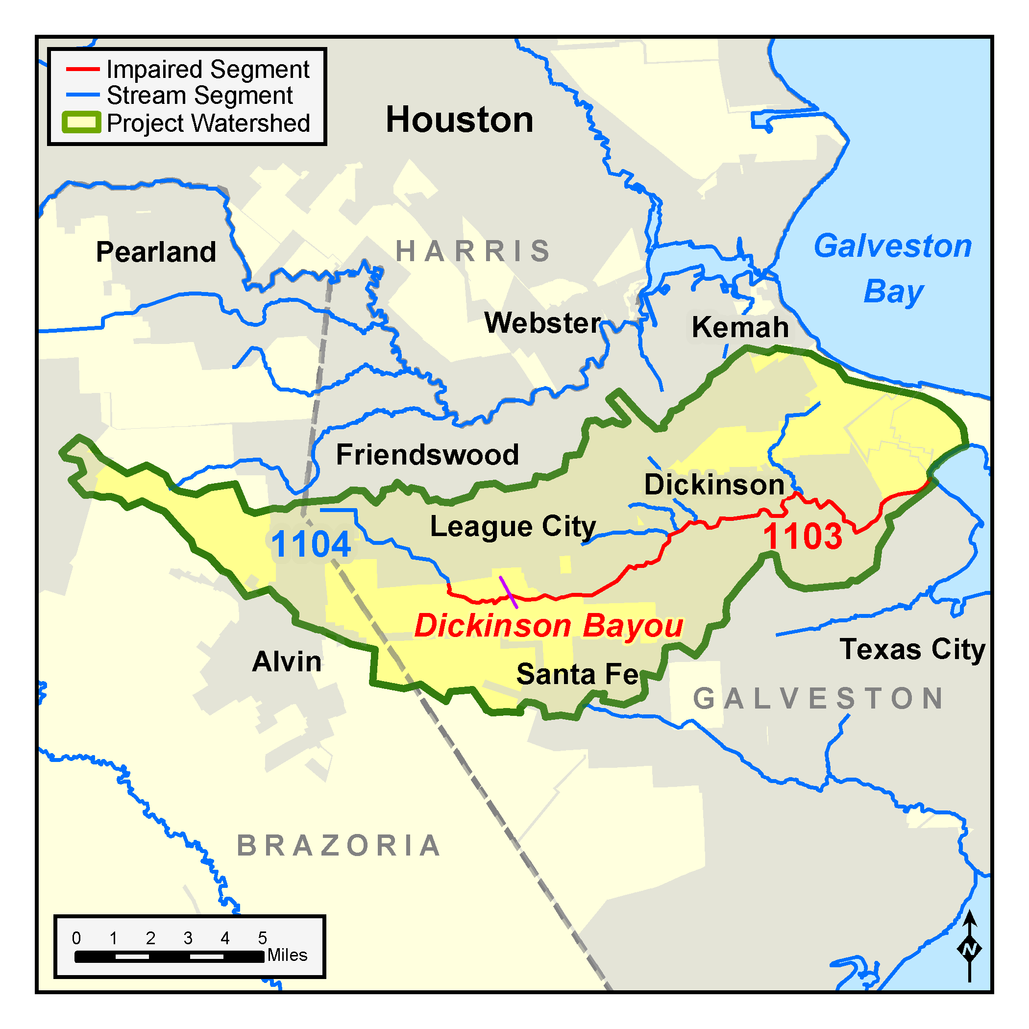
Segment: 1103
On this page:
Background and Goals
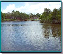
As early as 2000, concentrations of dissolved oxygen in Dickinson Bayou Tidal (Segment 1103) were less than optimum compared to standards defined for the support of aquatic life. The tidal portion of Dickinson Bayou is used by local residents for recreational boating, fishing, water skiing, canoeing, and other activities. The lower tidal portions support some commercial shrimp boat and barge traffic.
Oxygen, which dissolves in water, is essential for the survival of aquatic life. The amount of dissolved oxygen in water fluctuates naturally, and low dissolved oxygen is a common natural occurrence in some coastal waters like Dickinson Bayou. Various human activities can also cause unusually or chronically low dissolved-oxygen levels, which may harm fish and other aquatic organisms.
Watershed Description
Dickinson Bayou is in the San Jacinto-Brazos Coastal Basin. It originates near Alvin, south of Houston, and flows east through Dickinson before joining Dickinson Bay. The watershed of Dickinson Bayou includes portions of Brazoria and Galveston counties and the cities of Alvin, Santa Fe, Dickinson, and League City.
The bayou has two segments—the tidal portion, Segment 1103, and the portion above tidal influence, Segment 1104.
Upstream of the tidal influence, Dickinson Bayou is a small coastal prairie stream. The tidal segment ranges from a relatively narrow, forested stream in the upper reaches to a very wide and relatively deep tidal stream at, and downstream from, the city of Dickinson.
The watershed of Dickinson Bayou includes portions of Brazoria and Galveston counties and the cities of Alvin, Santa Fe, Dickinson, and League City.
Status
The University of Houston (UH) collected water quality data for TCEQ in the bayou and its tributaries in 2008 and 2009 and prepared a model of dissolved oxygen conditions in the tidal segment. TCEQ TMDL staff analyzed the work done by UH and concluded that low dissolved in Dickinson Bayou was heavily influenced by the natural conditions, especially during warm and dry periods when flow in the bayou is sluggish.
Based on this analysis, TCEQ recommended to watershed stakeholders that TCEQ should make no changes in the dissolved oxygen criteria used to assess support of the aquatic life use in the bayou. No TMDLs were developed.
UH data also indicated that criteria for assessing the use by aquatic life should be modified to accommodate periods of sluggish flow. The TCEQ Standards Team is conducting studies to evaluate the appropriate strategy to address low dissolved oxygen in tidal streams along the Texas Gulf Coast, including Dickinson Bayou.
Public Participation
The Galveston Bay Estuary Program and the University of Houston (UH) coordinated with the public about this investigation. Ultimately, stakeholders formed the Dickinson Bayou Watershed Partnership to implement activities that improve water quality in Dickinson Bayou. Information about the Partnership’s activities is available on their website.
Contact Us
Please e-mail tmdl@tceq.texas.gov, and mention the Dickinson Bayou TMDL in the subject line. Or call us at 512-239-66682. To learn more about the studies being done by the TCEQ Water Quality Standards Team, email standards@tceq.texas.gov or call 512-239-6682.